


October 21, 2019
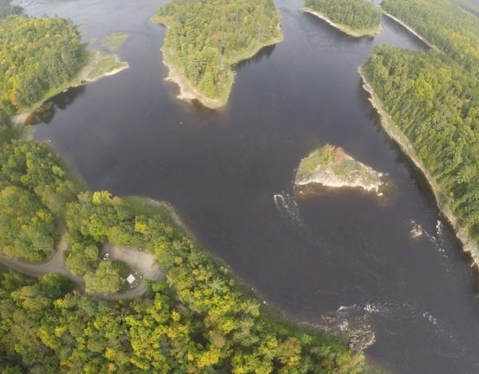
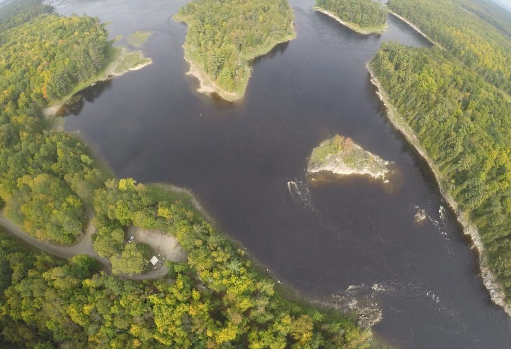
The Ottawa River is over 1,200 km long and drains over 140,000 km2. Needless to say we on the Ottawa are always blessed with an abundance of water as we are located at the lower part of the river.
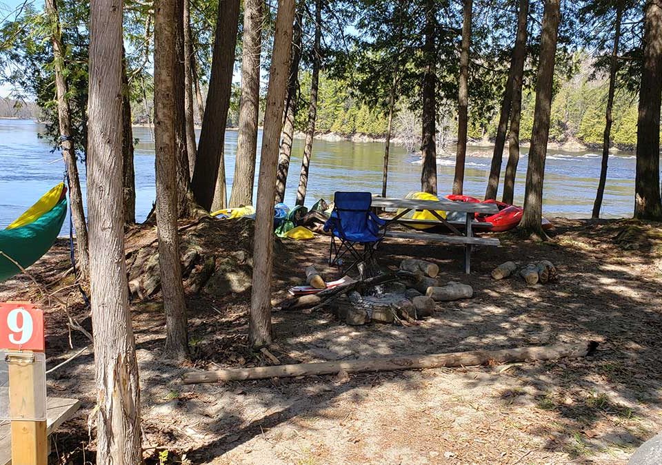
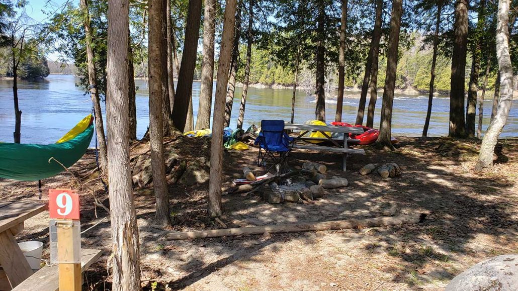
We have some incredible swings in water levels over the course of the year. The section of the river is called “Roche Fendu” which means split rock, which makes the river extremely dynamic and full of options no matter what the water level.
Levels in the summer time average about 250 CMS or 8,800 CFS with water temperature of 22C or 71F. Spring flows can be in excess of 4500 CMS or 176,573 CFS but the water is usually around 4 – 6C (39-42F).
